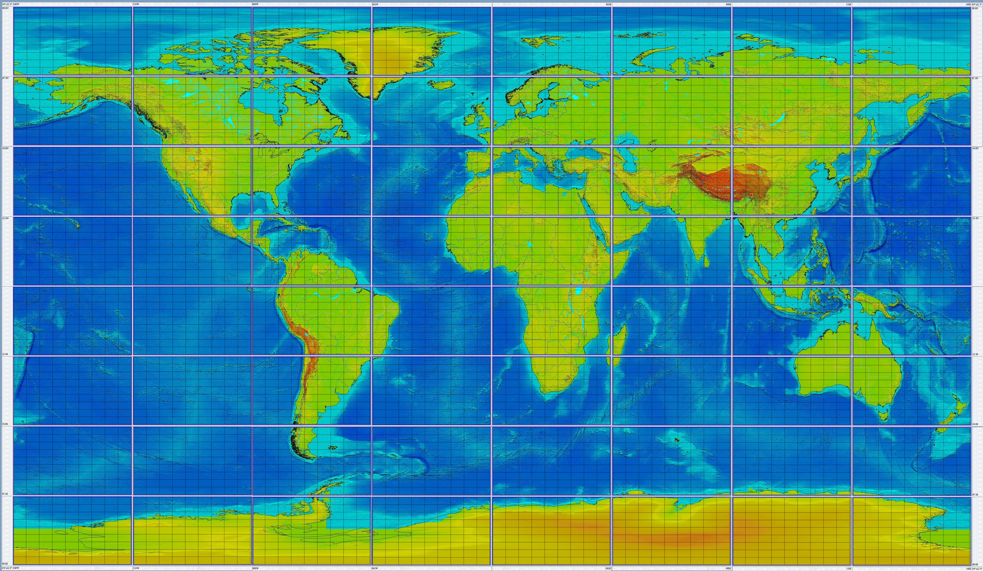
The world map below is in an equidistant longitudinal projection. The map shows large cells, IG1 45°x22.5°, which are numbered from the lower left as 11 to the right as 21 to 81, and upper right as 81 to 88. In each of these cells are 9×9 5°x2.5° cells. Similar to IG1 cells, they are numbered from 11 in the lower left to 99 in the upper right. So the IG2 cells covering the southwestern United States and Eastern Pacific Ocean (IG1-26) range from IG2-2611 to IG2-2699. In the final product, each cell will be active, and can be selected to zoom into a smaller area, or to select the spatial search criteria.